Gregory Elwood, GIS Specialist II, Ventura County Fire Department, goes through the software used today to battle wildfires in California. The software application, ArcGIS Pro, published by Environmental Systems Research Institute (ESRI) in Redlands, California, is the designated software used by Geographic Information System Specialists (GISS) to provide maps and mapping support to the Incident Commanders and Wildland Firefighters.
You must register with Zoom Registration to attend this event.
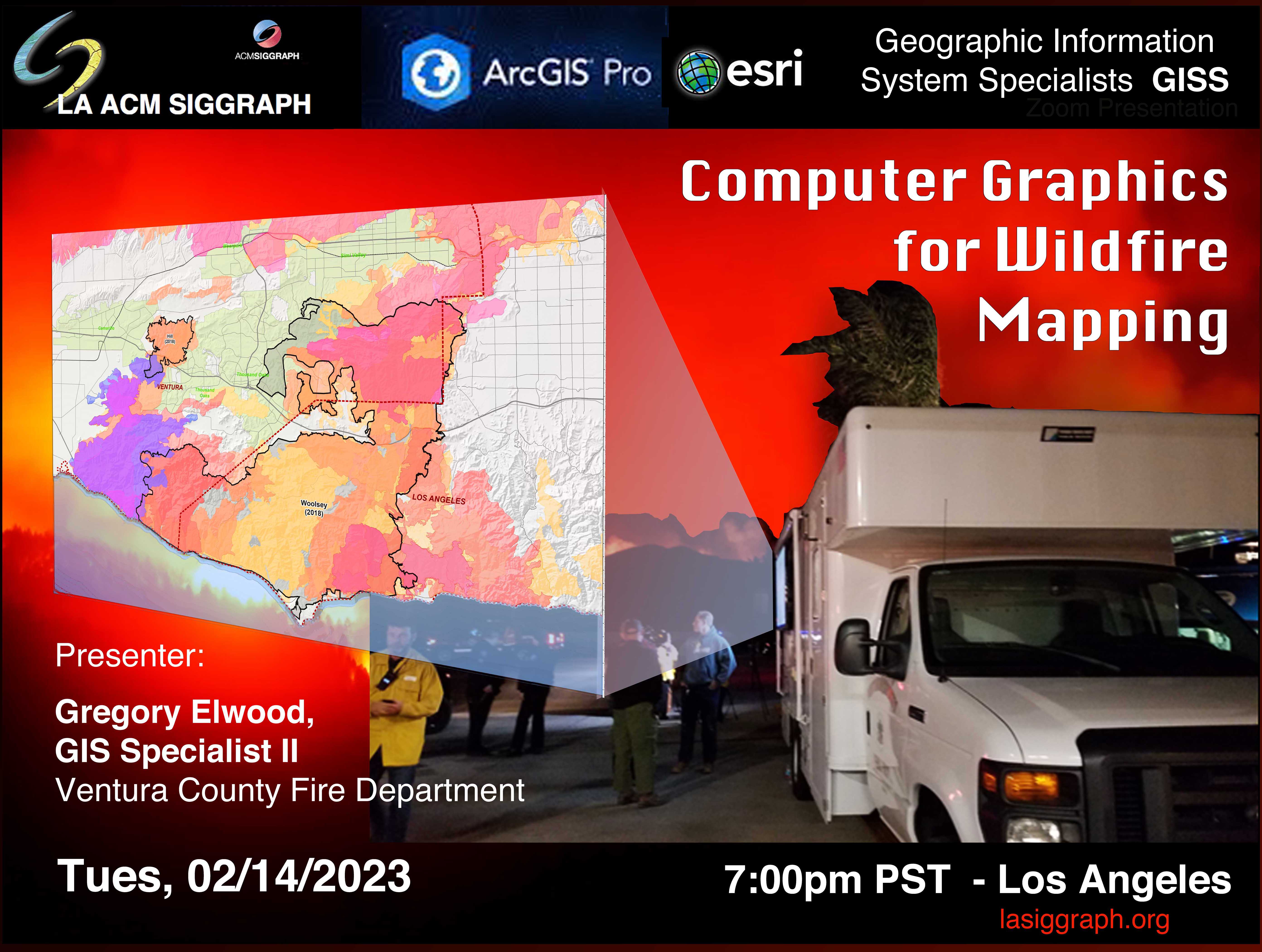

Links from Mr. Elwood's presentation, Feb 14, 2023 "Computer Graphics for Wildfire Mapping" :
https://firms.modaps.eosdis.nasa.gov/
Ventura County Fire Department – Committed to Excellence…Delivered with Pride
California's "Fire Hazard Severity Zones" - Interactive very detailed url link. Scroll down to the “FHSZ viewer”. You can enter your address to locate your property on a map showing Fire Hazard Severity Zones. (*) https://osfm.fire.ca.gov/divisions/community-wildfire-preparedness-and-mitigation/wildfire-preparedness/fire-hazard-severity-zones/
2023 Esri User Conference: July 10–14, 2023
GIS Jobs Clearinghouse
"Wildland Fuel Management" with our state and federal biodiversity conservation planning - California is a global biodiversity hotspot, so resilience-informed management of the "urban wildlands" interface is the forward, visionary approach. Also, on a go-forward basis wise wildlands management is aligned with science-based "Nature-based Solutions." Managing nature-based solutions in fire-prone ecosystems: Competing management objectives in California forests evaluated at a landscape scale
Examples of other recent articles on wise "Nature-based" approaches to management of wildlands at the urban interface. (*) https://www.scienceforconservation.org/science-in-action/wildfire-and-communities and (*) https://www.whitehouse.gov/wp-content/uploads/2022/11/Nature-Based-Solutions-Resource-Guide-2022.pdf
SMC offers a GIS certificate .... you don't need to a complete a degree, though a Bachelor's degree in Geography helps.
Geospatial Technology Certificate
COMMENT from ATTENDEE: Anyone interested in GIS would benefit from the low cost and excellent GIS classes at (SMC) Santa Monica College. Online. Students are given free access to the full array of ESRI ArcPro. SMC offers a certificate in GIS, as well. Dr. Jing Liu heads the GIS dept and GIS Certificate program, and she is a super-cool, super-smart, super-kind professor.
Feb 14, 2023
7:00-7:10 Welcome/Announcements
7:10-8:30 Presentation
8:10-9:00 Audience Q&A
You must register with Zoom Registration to attend this event.
We would like to thanks to the Presenter, Gregory Elwood, GIS Specialist II, Ventura County Fire Department; the event producer Joan Collins; and members of the LA ACM SIGGRAPH chapter Executive Council including: Joan Collins, Larry Rosenthal, Rick Hernandez, Dave Curlender, Sharon Eisenberg, Fran Benjamin, and Leonard Daly. and all members of the Executive Council of the LA chapter of ACM SIGGRAPH.
- Log in to post comments